Okay, deep breath, let's get this over with. In the grand act of digital self-sabotage, we've littered this site with cookies. Yep, we did that. Why? So your highness can have a 'premium' experience or whatever. These traitorous cookies hide in your browser, eagerly waiting to welcome you back like a guilty dog that's just chewed your favorite shoe. And, if that's not enough, they also tattle on which parts of our sad little corner of the web you obsess over. Feels dirty, doesn't it?
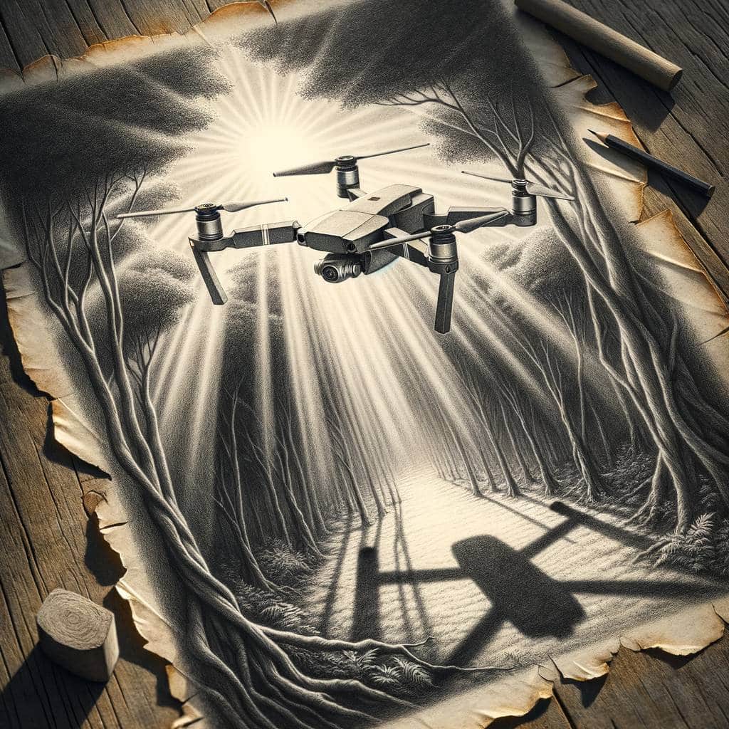
Drone Data Dilemmas: Unmasking the Secrets Hidden in Your DJI Mini Pro 4’s Footage
Curious about drone EXIF data? Discover how your DJI Mini Pro 4 drone captures more than just stunning aerial shots—it logs extensive metadata, from GPS coordinates to camera settings. Spoiler alert: the altitude might surprise you!
Hot Take:
Move over, Sherlock Holmes! Drones are the new detectives in town, packed with more metadata than your average spy novel. Also, someone please explain to DJI that their drones are not launching to the moon, because that altitude reading is astronomical!
Key Points:
- Drone footage carries extensive EXIF data similar to smartphones, including camera parameters and GPS coordinates.
- DJI Mini Pro 4, a popular drone model, presents some issues with altitude data due to encoding problems.
- EXIF data from drone images includes information like camera model, aperture, focal length, and coordinates.
- MP4 video files from drones contain less verbose metadata but do include the drone’s serial number.
- SRT files contain time-stamped GPS data that can be overlaid on video footage.
Drone Detective Work
Just when you thought your smartphone was the ultimate snitch, enter the DJI Mini Pro 4 drone, equipped to spill the beans on your every aerial move. From date and time to GPS coordinates, this drone records it all. However, if you’re using standard EXIF tools, you might find the altitude data hilariously off. Think Mars Rover levels of wrong. A custom tool might be your best bet here, but hey, at least it tries!
Metadata Magnificence
The EXIF data from the drone’s still photos reads like a resume for the camera itself: maximum lens aperture of f/1.7, 24mm focal length in 35mm equivalent, and of course, the all-important GPS coordinates. Just to keep things spicy, the altitude data might tell you your drone’s hovering somewhere in the stratosphere. Perhaps DJI’s drones are a bit too ambitious?
Video Veracity
When it comes to videos, the drone saves three different file types: MP4, LRF, and SRT. The MP4 file is your main video, where you’d find metadata about the camera and firmware, but no GPS data. The LRF file is a lower resolution version, probably useful for quick previews or conserving storage. The SRT file is where the GPS data hangs out, formatted like subtitles, making it easy to overlay on your video. Talk about a well-documented flight path!
Unknowns and Uncertainties
There are some “Unknown” tags in the EXIF data that could hold sensitive information. These tags include the drone’s serial number and other cryptic entries that even James Bond would find puzzling. Should you redact this data? Well, that’s a topic for another day. For now, let’s just say your drone’s metadata is as mysterious as it is comprehensive.
Location, Location, Location
A critical detail to note is that the GPS coordinates saved are those of the drone, not the operator. This might be a relief if you’re trying to keep your secret lair off the grid. However, DJI does include the operator’s location in the data stream sent to the drone. So, if someone’s hacking into your drone’s communication, they might just find you. Better hope your drone doesn’t double as a tattletale!
Conclusion
In the grand scheme of things, drones like the DJI Mini Pro 4 are not just flying cameras; they’re flying data centers. They capture a plethora of information, from camera settings to GPS coordinates, and even some mysterious “Unknown” tags. While most users are likely to share just the MP4 files, the lurking metadata can still reveal a lot. So, next time you’re flying your drone, remember: Big Brother might not be watching, but your drone definitely is!
Already a member? Log in here